Big Data Visualization Services (BDVS) for EUMETSAT
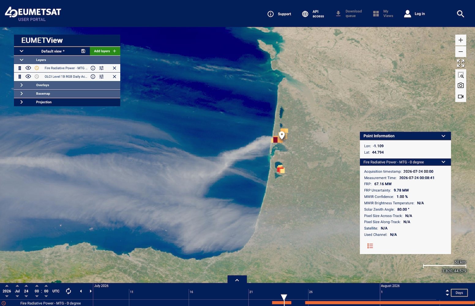
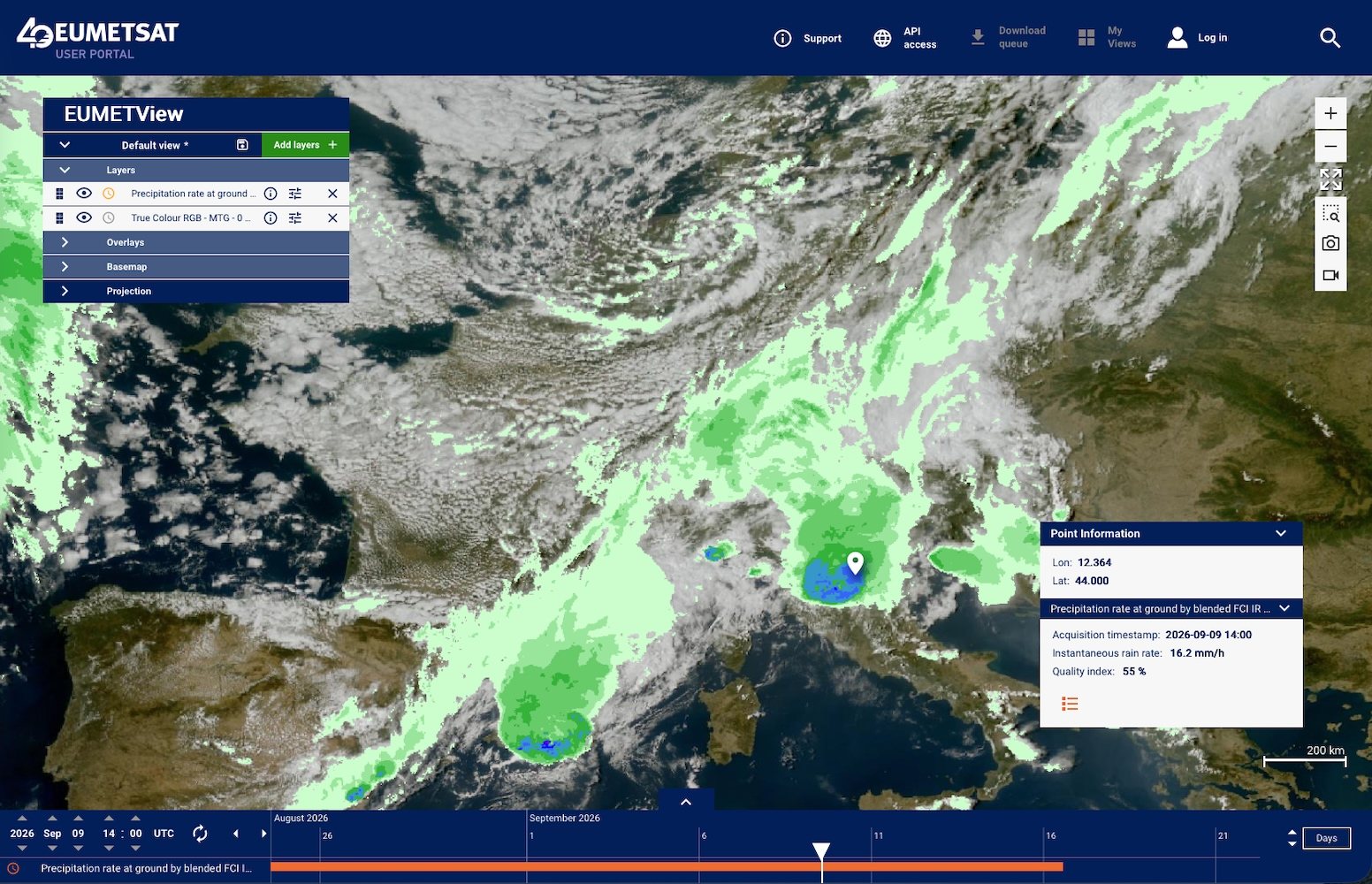
Two new Meteosat Third Generation (MTG) products have recently gone live in EUMETView, and we are proud that our software helps make these products available to users: the H-SAF H40 Precipitation Estimate and the LSA SAF FRP-Pixel Fire Radiative Power product.
Both products provide valuable operational information. H40 delivers an instantaneous precipitation map every 10 minutes at 2 km resolution, providing the update frequency needed to monitor convective storms as they develop. FRP-Pixel detects active fires every 10 minutes at 1 km resolution, allowing hotspots and their associated smoke plumes to be monitored in near real time.
Both products are available as imagery and data. H40 is provided as a raster layer through WMS and WCS, while FRP-Pixel is available as vector features through WMS and WFS, with information queryable down to the individual pixel or hotspot.
Our contribution
As part of EUMETSAT’s Big Data Visualization Services (BDVS), we are working in a CGI-led consortium with GeoSolutions to develop the EUMETSAT Visualization Application (EVA) and the Ingestion Service supporting these layers.
These services transform a continuous stream of HRIT, GRIB, BUFR and NetCDF products into the raster and vector visualizations published by EUMETView through GeoServer. The processing chain also makes use of Pytroll and Satpy.
Today, the platform provides more than 90 live layers and processes close to 8,000 products every day, serving several thousand users and many millions of requests daily.
More than 15 years of collaboration
The launch of these two products marks another step in a long-standing collaboration with EUMETSAT.
For more than 15 years, we have been developing visualization software with and for EUMETSAT, from the PVA tool for MTP and MSG, through IPPS for MSG and METOP, to EVA today.
During this journey, we have also helped evolve the ingestion services from the OLDA and WMS Pathfinder projects into BDS and BDVS, while contributing to the MTG SIFT tool and other challenging visualization projects.
We are proud to continue supporting EUMETSAT with reliable, scalable visualization and data-processing solutions that help make complex Earth observation data accessible and useful to users around the world.