
NinJo.
The all-purpose forecaster workstation for processing and displaying meteorological data.
NinJo
Since 2001 ‘ask’ has been contributing to the design and development of NinJo. NinJo is a modern, all-purpose forecaster workstation system for processing and displaying meteorological data, from the integration of raw data to its usage for forecasting purposes.
News: 25 years of contributing to NinJo
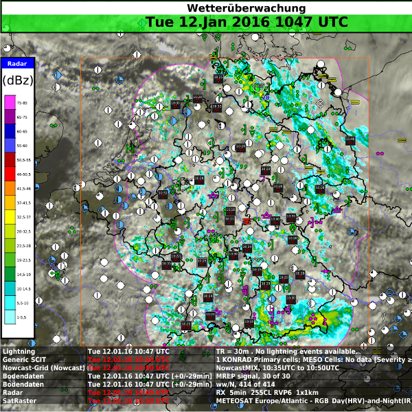
The multi-window technology and specialized applications make NinJo the ideal tool for operational weather forecasting. It’s also very useful in applications where meteorological information plays a vital role for business.
It has been developed by the NinJo Consortium. The consortium consists of an international group of national weather services (DWD, Meteo-Swiss, DMI and MSC) and the German armed forces (Bundeswehr Geoinformation Service, BGIS).
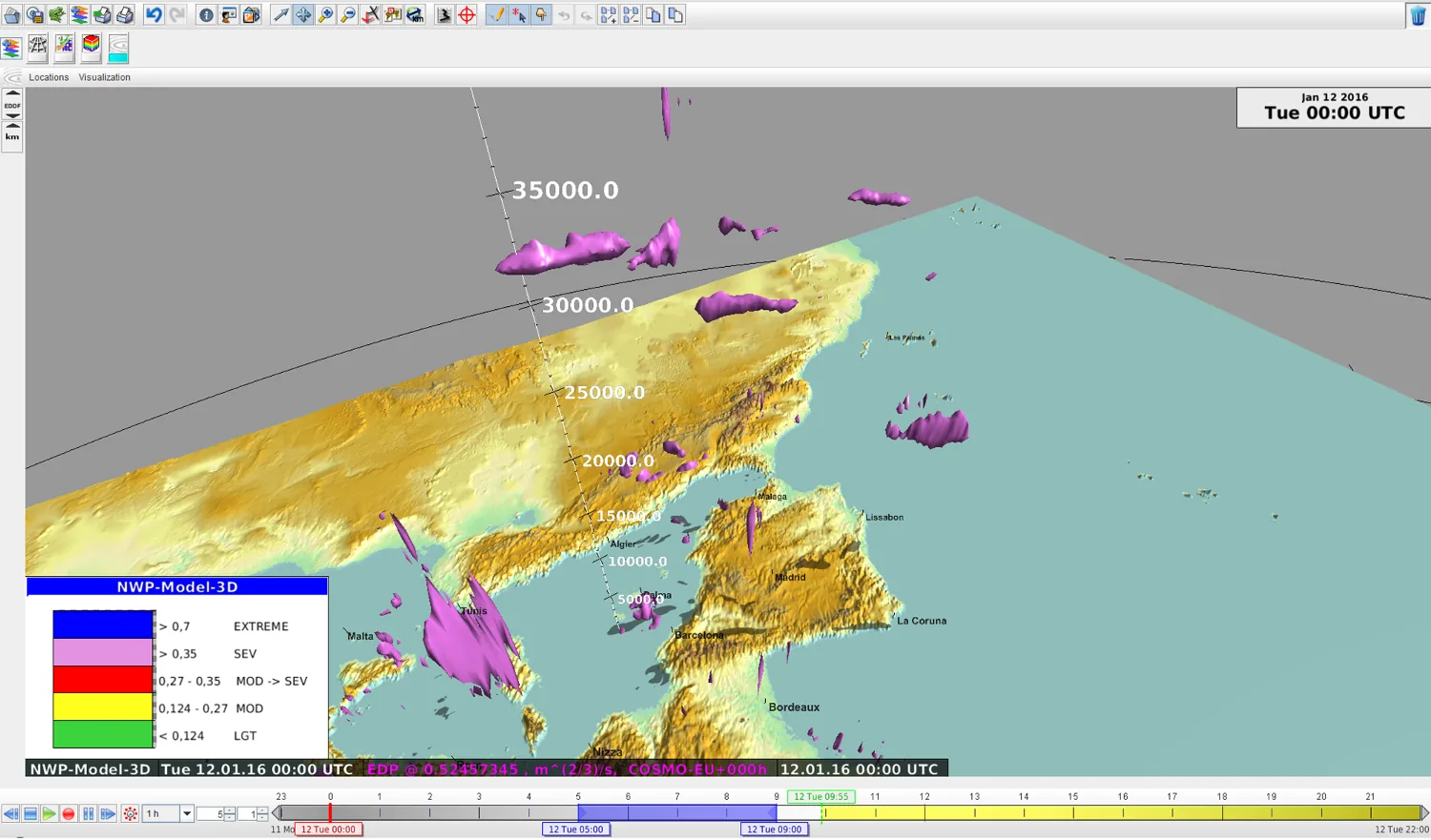
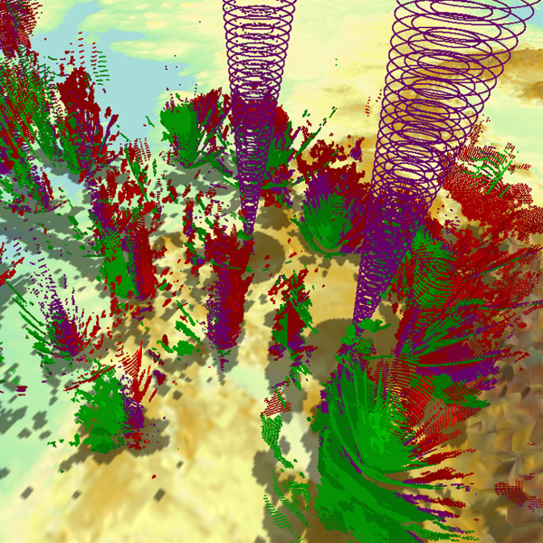
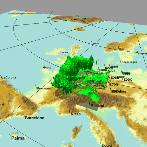
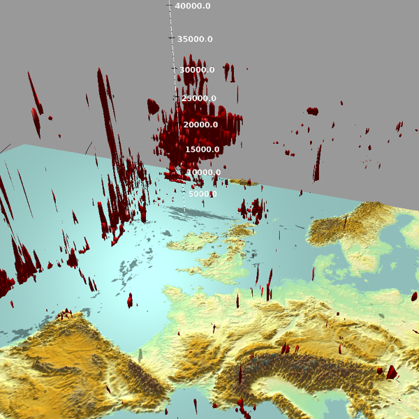
Today’s numerical weather prediction models provide increasingly high resolutions, a larger coverage area and more vertical layers. NinJo’s 3D visualisation application – in development for DWD WV2 – provides an overview across the whole 3D data space. This is especially useful for aviation, since it enables the quick identification of areas with predicted turbulence.
FEATURES
- Multi-window technology
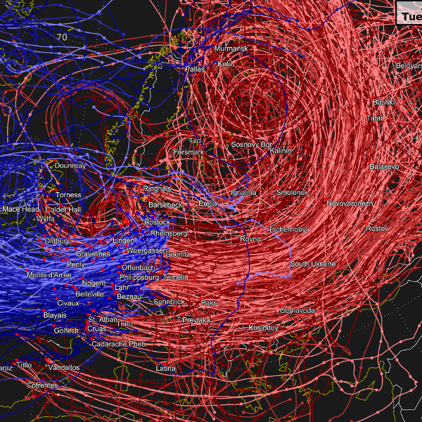
- Layer-based visualisation of different data types
- Easily integrated geographic map displays
- Diagrams, such as meteograms, cross-sections and tephigrams
- Monitoring of incoming data
- Animation and graphical export capabilities
- Interactive and automatic product generation
- A graphical editor to produce tailored synoptic charts
- A flexible client/server architecture as well as a high degree of
configurability
OUR CONTRIBUTIONS
- Central graphics component GOF
- 3D visualization
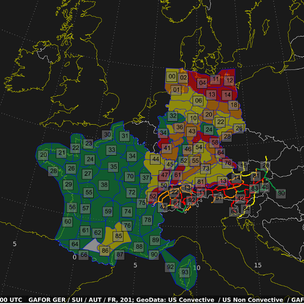
- GAFOR Layer
- Aviation Layer
- GeoVector Layer
- Trajectory Layer
- Colour Table feature